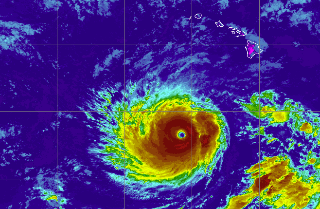
Photo: Inside the eye of Category 5 Hurricane Lowell before it turns toward Hawaii
An Air Force reconnaissance flight took a photo from the eye of Hurricane Lowell on Friday afternoon as the storm continued to strengthen.
TL;DR
- Hurricane Lowell rapidly strengthened to a Category 5 storm with 160 mph sustained winds.
- The storm is forecast to turn north and make a close pass by Hawaii's westernmost islands late Monday, potentially near major hurricane strength.
- The exact track is uncertain and difficult to predict, with a significant impact on which islands will experience hurricane-force winds and storm surge.
- Dangerous surf is already building along south-facing shores, and heavy rain is expected to arrive Sunday.
- Coastal flooding is a concern on Kauai and Niihau due to potential storm surge aligning with peak high tides.
- Hawaii has a history of significant hurricane impacts, with Hurricane Iniki in 1992 being the strongest and costliest on record.