Satellite firm pauses imagery after revealing Iran's attacks on US bases
Planet wants to prevent “adversarial actors” from using images for “Battle Damage Assessment” purposes.
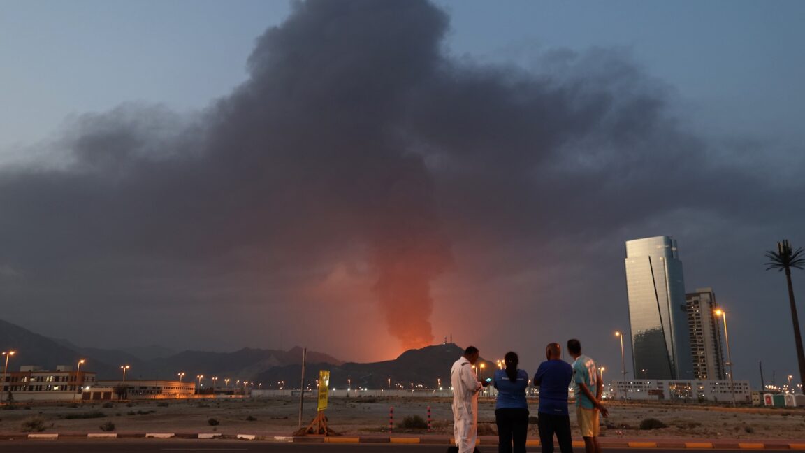
TL;DR
- Planet Labs is restricting the release of new satellite imagery from conflict zones in the Middle East, including Gulf States, Iraq, and Kuwait.
- The company is implementing a mandatory 96-hour delay for imagery in these areas, excluding authorized government users.
- This measure is intended to prevent "adversarial actors" from using the data for Battle Damage Assessment (BDA) and to mitigate risks to personnel.
- The company's decision comes after its imagery showed damage from Iranian strikes on US and allied bases.
- Other satellite imaging companies like Airbus and Vantor continue to provide imagery, though Vantor has a policy against sharing images of US or coalition forces.