tech
Google Earth risked ruin with retracted AI tool for making fake satellite pics
“What on earth is Google doing?” Misinformation fears spur walk-back of AI tool.
TL;DR
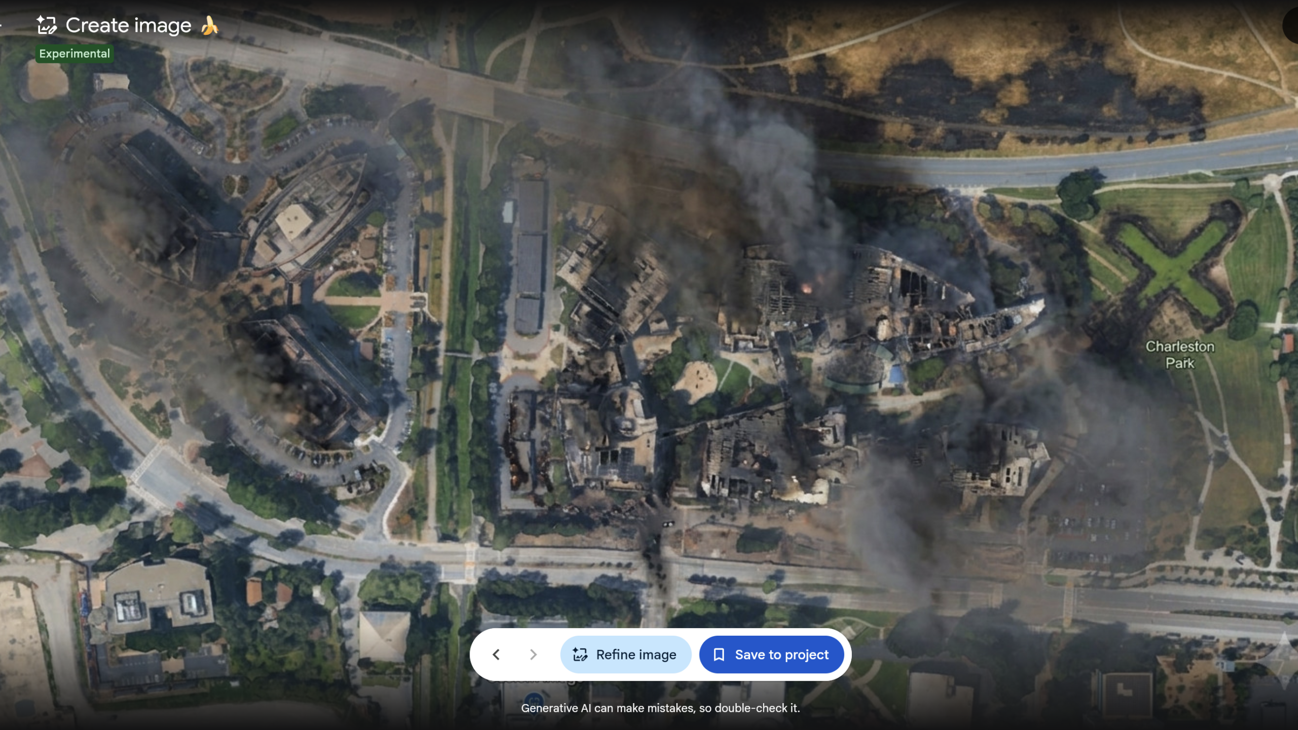
- Google introduced a feature in Google Earth that allowed users to create AI-modified versions of satellite imagery.
- Researchers expressed significant concerns that this tool could be easily misused to generate and spread misinformation and disinformation.
- Independent investigators demonstrated how the feature could simplify the creation of false scenarios overlaid on authentic satellite images.
- Google quickly rolled back the feature within a day of its debut due to the backlash.
- The company cited the need to implement stronger guardrails, acknowledging that while geospatial professionals found uses, others shared screenshots violating policies.
- Concerns were raised about the reliability of Google's SynthID digital watermarking system in preventing the spread of fakes, especially when images are re-encoded or captured via screenshots.
- The removal of the feature aimed to prevent undermining public trust in Google Earth as a source of authentic imagery.