politics
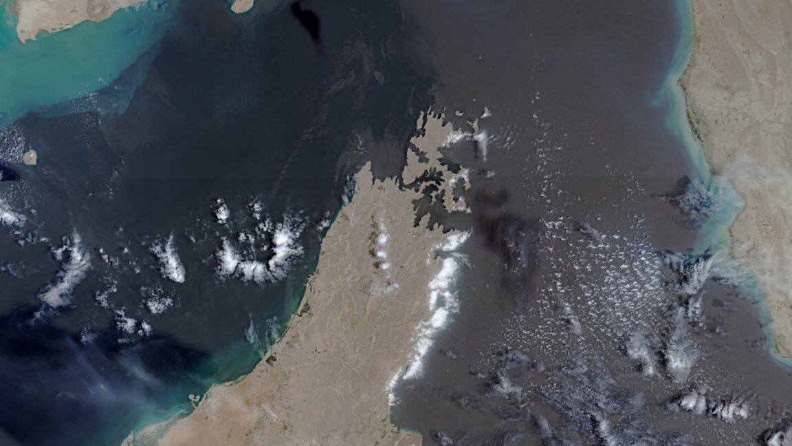
European Union grants US request to restrict satellite images of Iran War region
New delay on Copernicus satellite pics comes as US ramps up war with Iran again.
TL;DR
- The EU will delay the release of satellite images showing shipping lanes near the Strait of Hormuz by 24 hours.
- This decision was made in response to a US government request and applies to images from the Copernicus program's Sentinel-1 and Sentinel-2 satellites.
- The delay affects images covering the Gulf of Oman, including shipping lanes to and from the Strait of Hormuz.
- The US government requested the restriction on May 26, during a period of heightened conflict between the US and Iran.
- Satellite imagery has been crucial for both military intelligence and open-source intelligence during the war.
- US satellite firms have already restricted imagery related to the Iran war due to security concerns.
- The 24-hour delay is considered less restrictive than US firms' actions but still creates friction in timely transparency.
- The conflict has resulted in significant casualties, global energy shocks, and substantial financial costs for the US.